-
Published: 17 November 2015
-
Hits: 6091
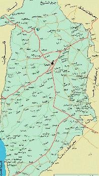
Terrain:
The Golan can be divided into three natural areas:
1-Hermon region (Jabal al Sheikh):
It is a huge chain of lime rock mountains. This chain makes the northern natural border of the Golan. It is 2814 m high.
2-Northern Golan (Quneitra):
This area has the most modern volcanic terrain with many lavas and volcanic cones that belong to the fourth period .These rocks form a chain of heights that extend from the north western side to the south eastern part of Quneitra. Of these heights: Tell Ali Abunnada 1204 m high, Tal Ukasha and Tal al Faras. This chain of heights stand as a separation line between the Raggad basin in the east and the Jordan basin in the west.
3-Southern Golan - al Zweia:
In this part, the Golan is mostly flat .Volcanic cones disappear to be replaced by valleys and river basins that feed the Jordan ,Yarmouk and Raggad rivers. The Zweia plain has a thick layer of grey reddish soil that extends to the Bteiha plain north east of Lake Tiberia. This plain has certain winter floods that pour mainly in a alSafa ,Dalia and Sheikh Ali valleys. The most productive of these plains are:zweia,el Al, Fiq, Kafr Hareb , Scoufia and others.